
AirNow Fire and Smoke Map
Includes low cost and laboratory grade sensors, as well as maps of smoke plumes.
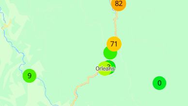
PurpleAir Map
Network of high quality, low cost sensors.
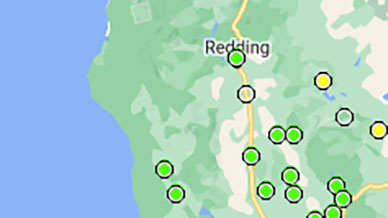
CARB (California Air Resources Board) map
High quality air data for a limited number of sites in California